PAUL! jump to my use of the gps coords in the EXIF metadata in the .JPG file:
grew 4 plants, 1 per barrel. 2 are “beefsteak”, 2 are”slicers?”.
— 2026-07-26 – Sunday – the one on the left (last one, nearest fence) is likely ready
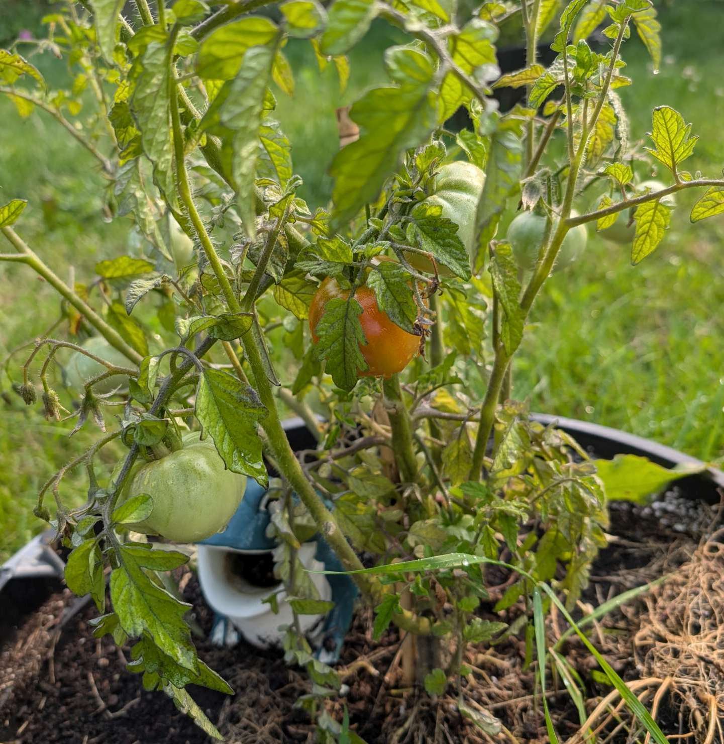
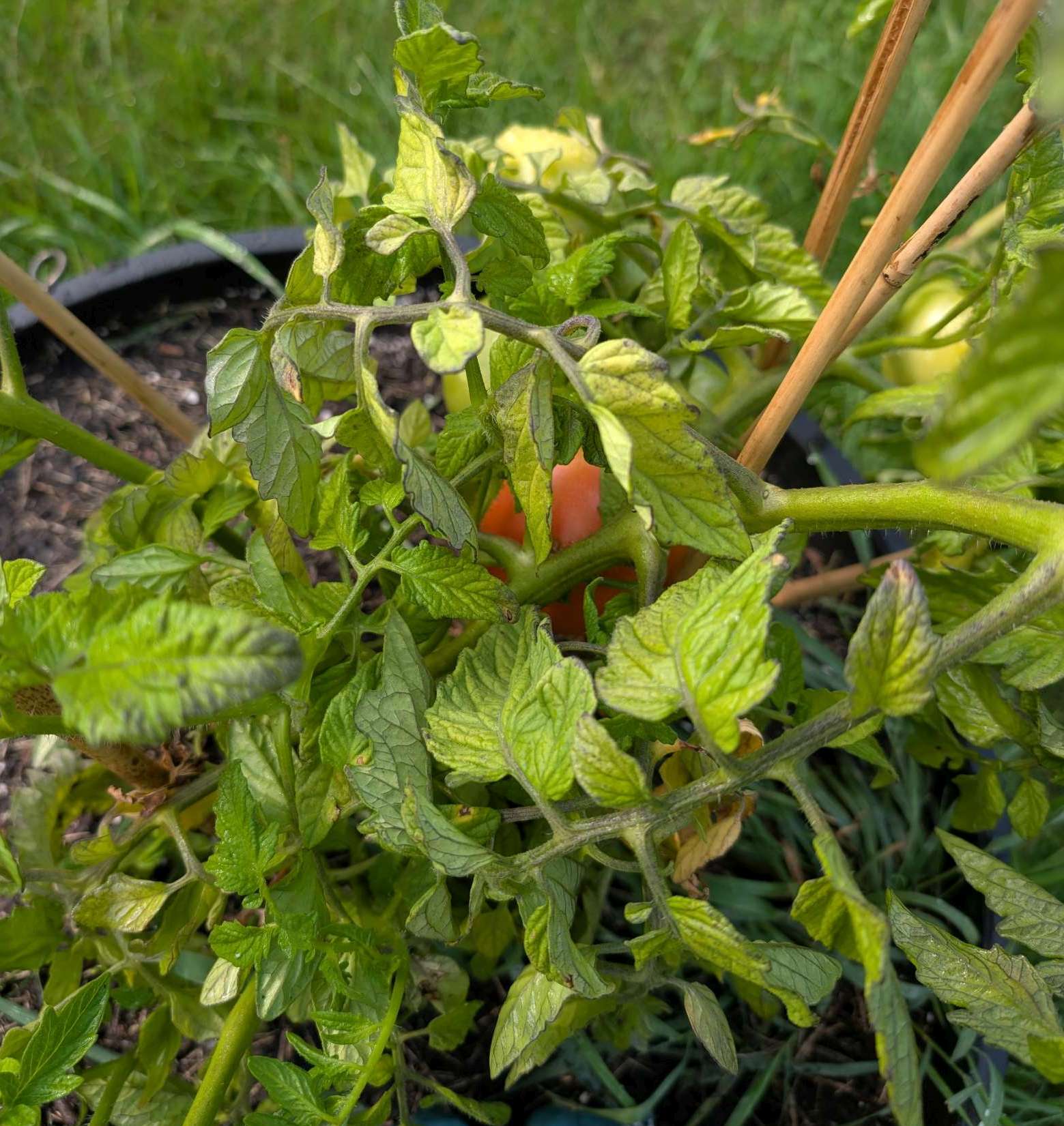
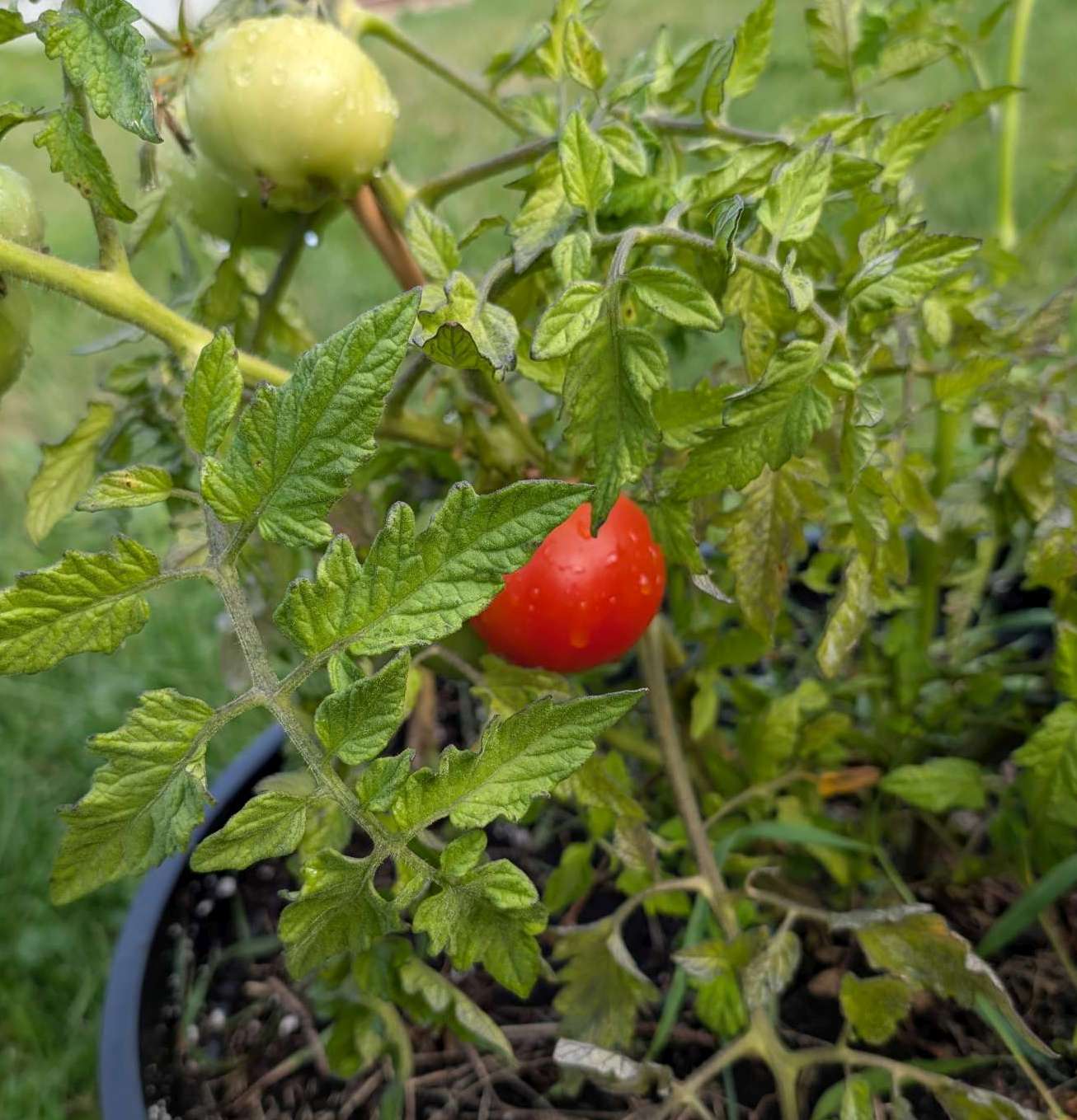
— 2026-07-27 – Monday – Joan picked the left-side one; made sandwich, which was good1(allegedly). i had a slice; while i certainly taste much more flavour that store bought, it’s still too much tomato for me. will try again next year.
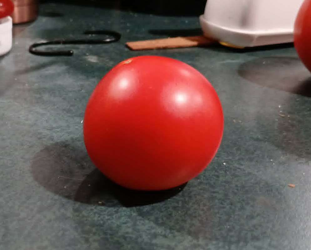
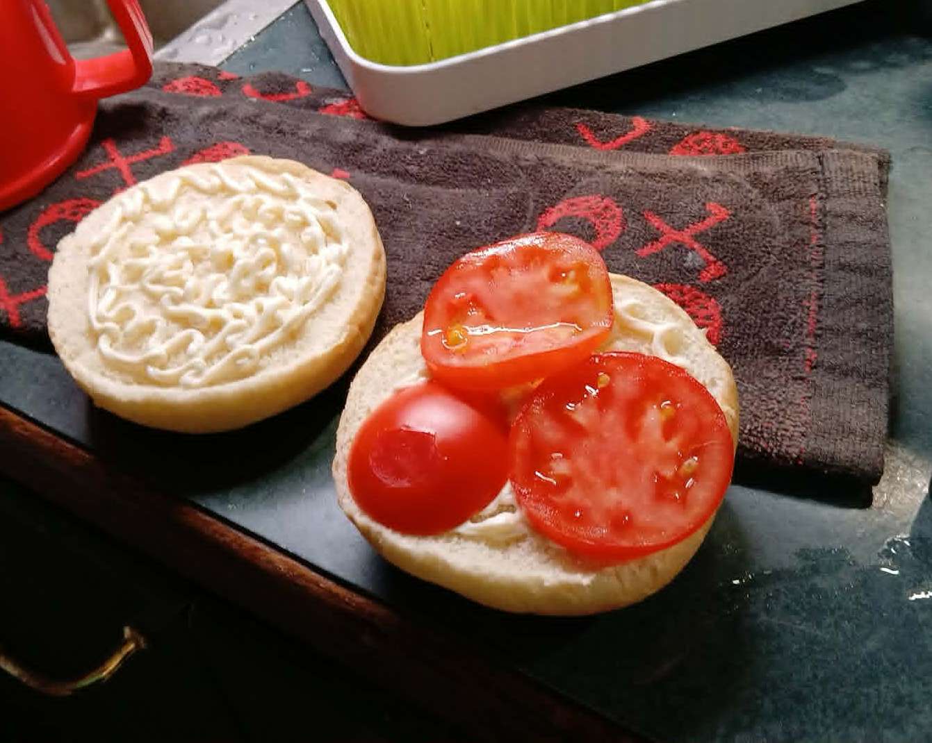
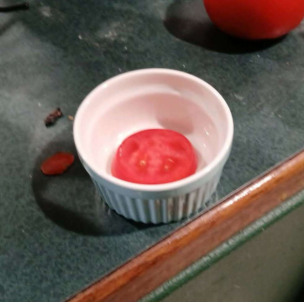
— 2026-08-02 – Sunday – picked 2 more
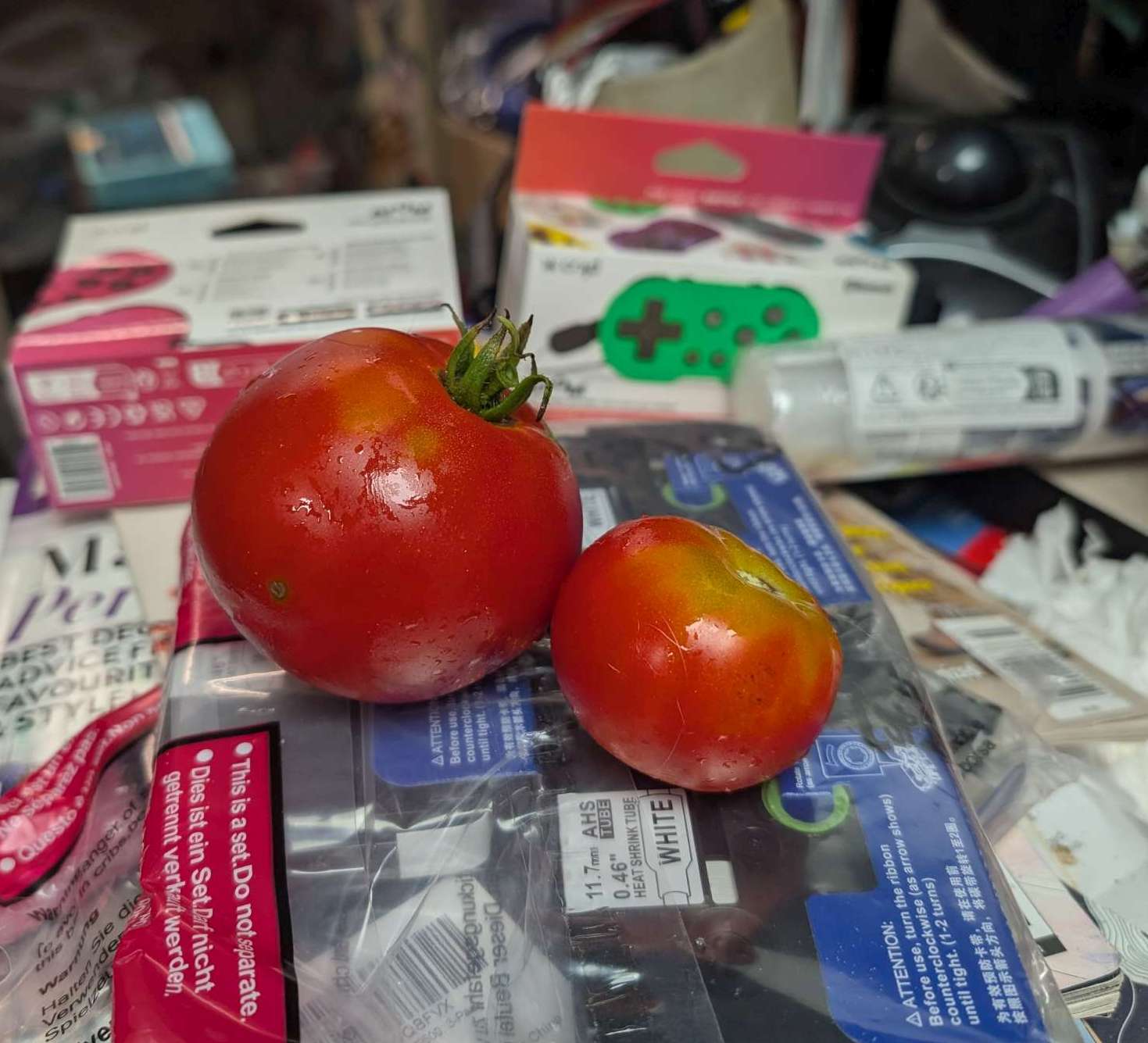
— 2026-08-04 – Tuesday – picked 4 more.
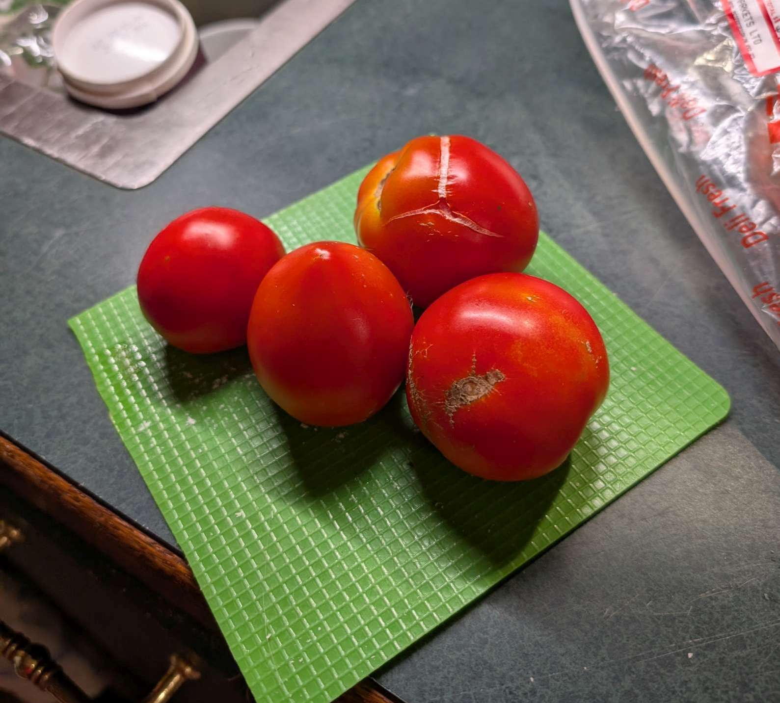
— 2026-08-06 – Thursday – picked 2 more
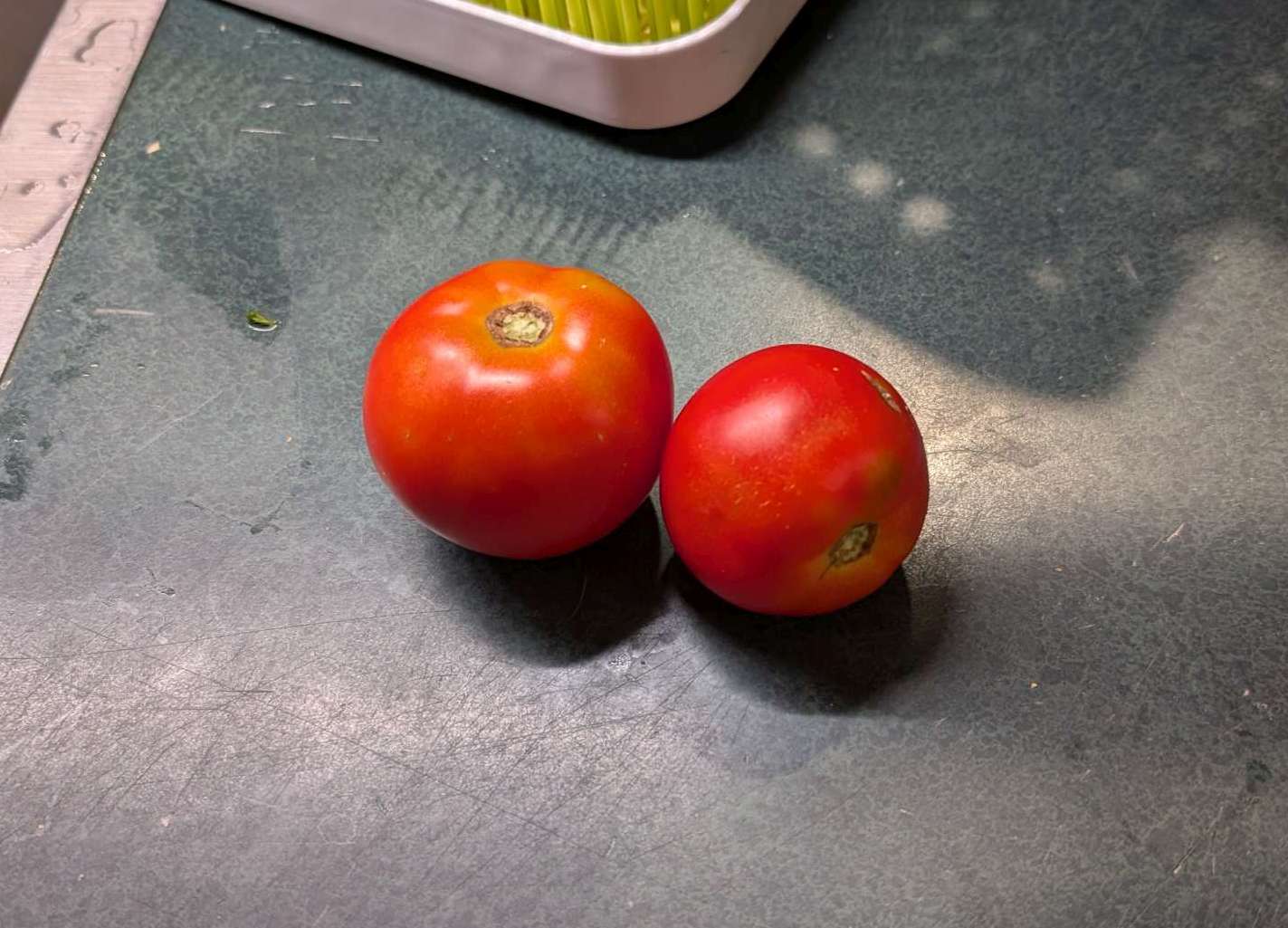
— 2026-08-10 – Monday – picked 4 more
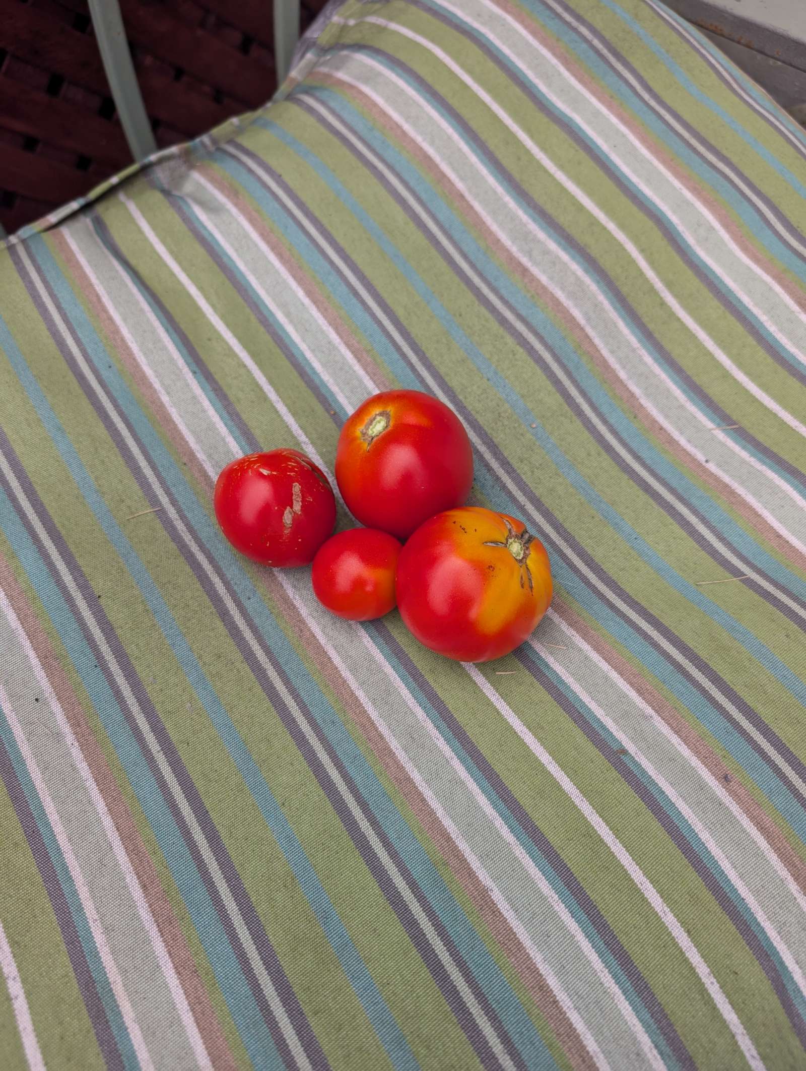
— 2026-08-14 – Friday – picked 2 more.
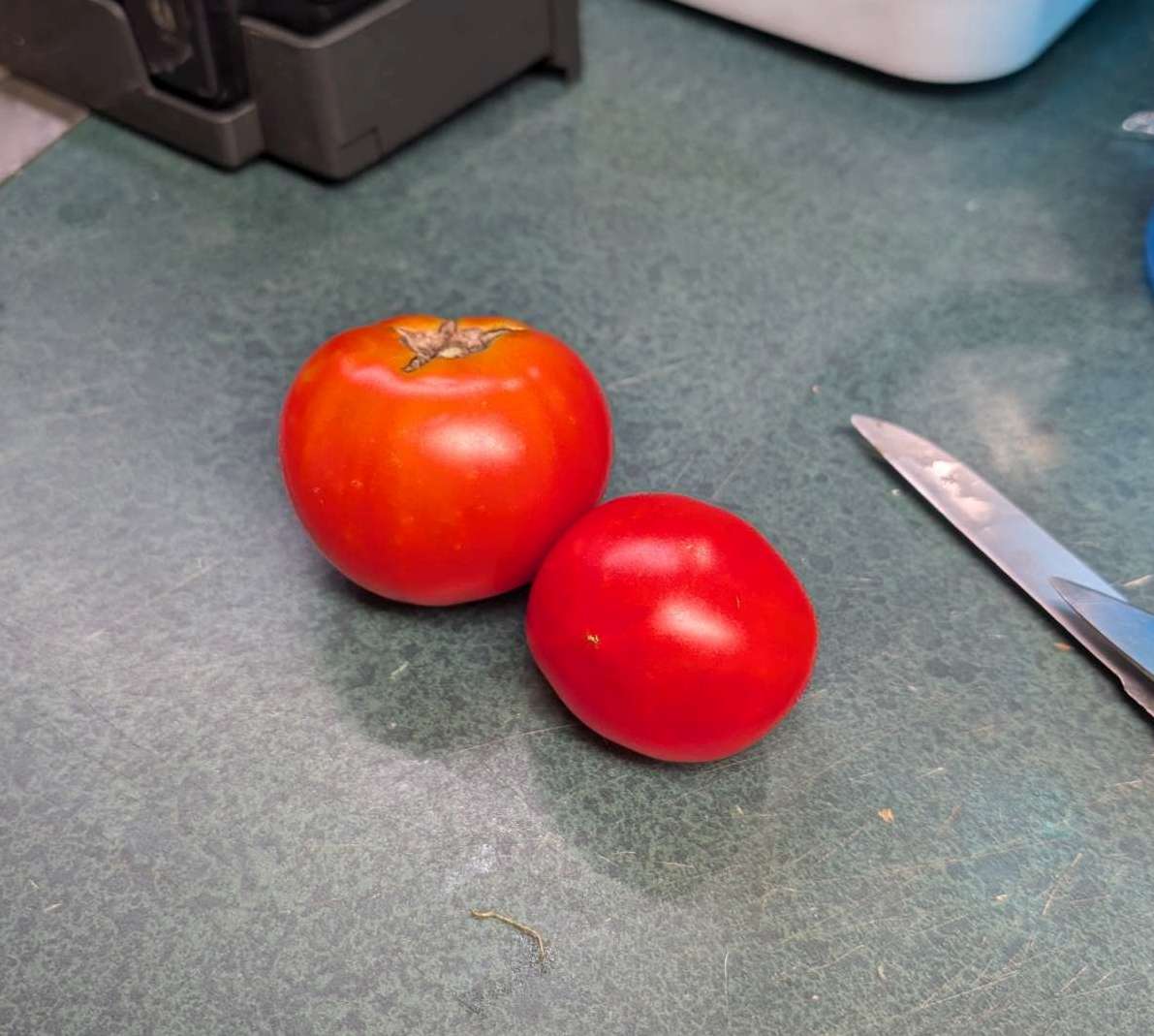
— 2026-08-15 – Saturday – 3 more
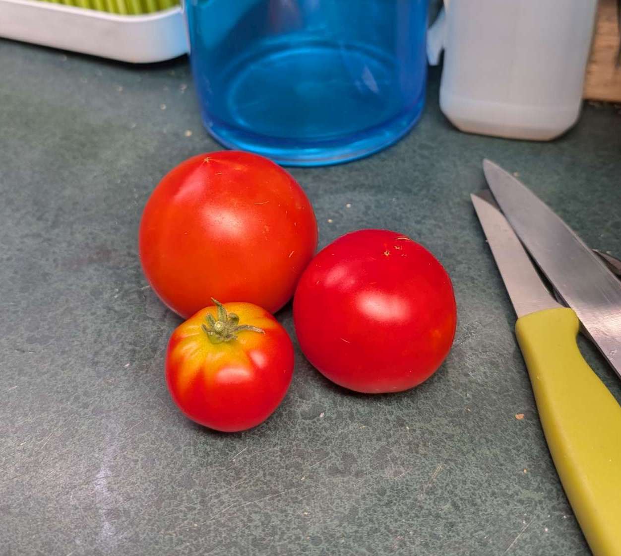
— 2026-08-17 – Sunday – 1 more
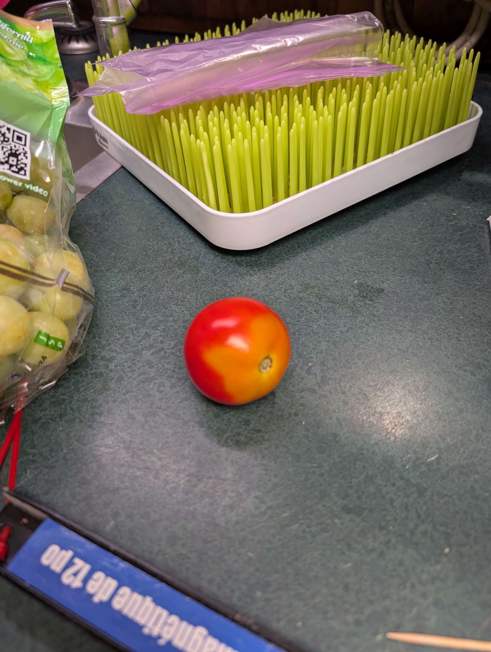
— 2026-08-17 – Monday – 1 more (yesterday’s is in the background)
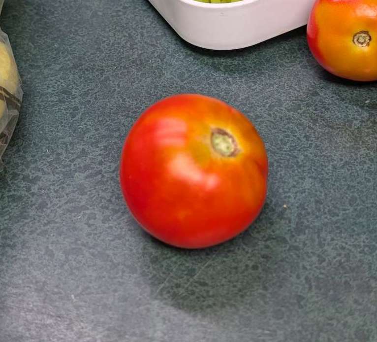
— 2026-08-17 – Monday
to repeat the point about the usefulness of .jpg files and their EXIF info from my camera (which is really a phone) let’s me see where the pic was taken.
this location comes from the EXIF info in the .JPG file
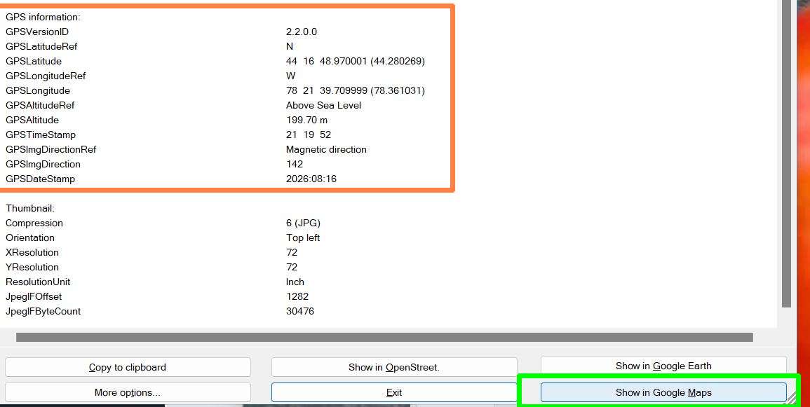
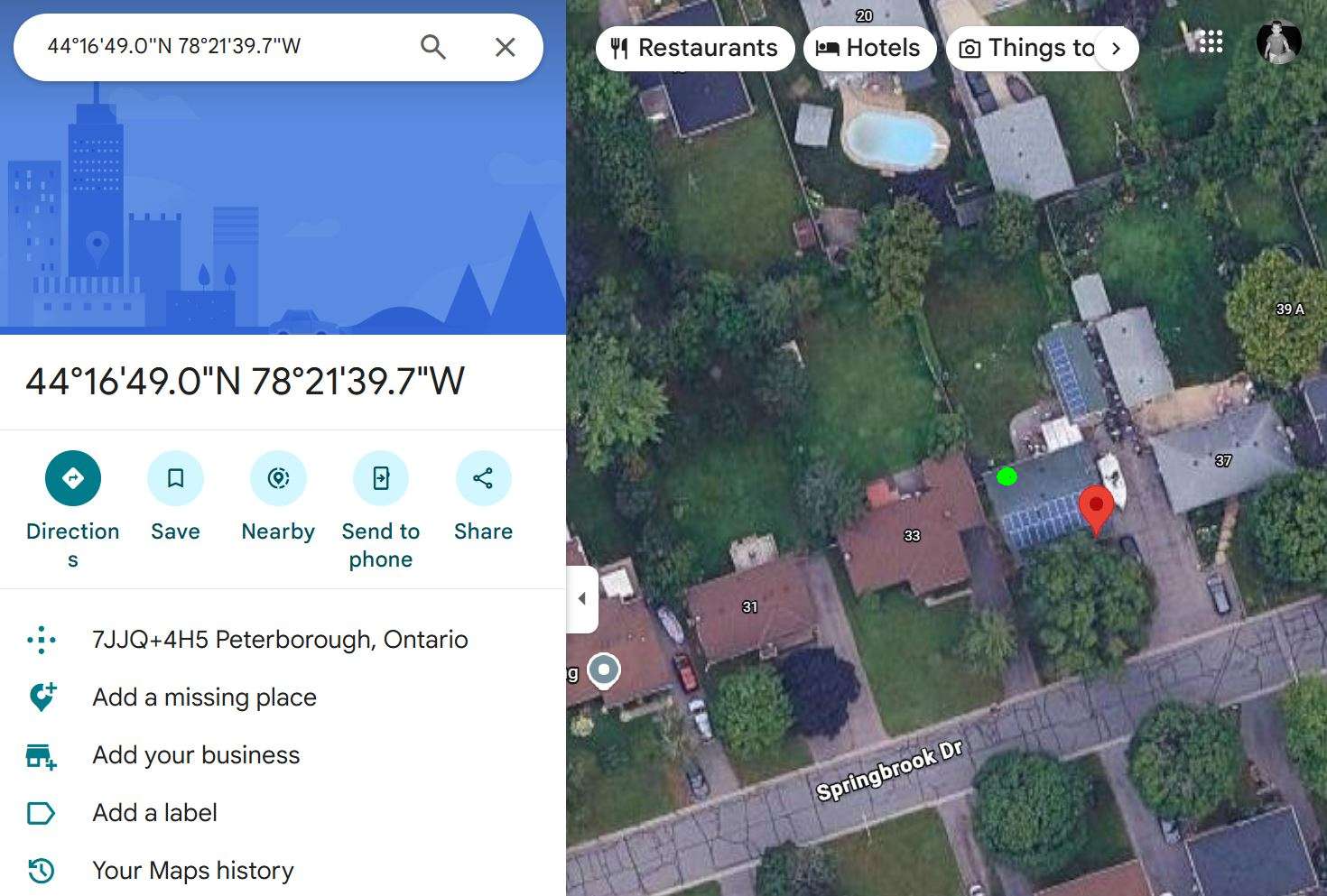
this shows the accuracy possible with gps… the red pin is the exact coords, looks like out on the front porch. but that pic was taken at the basement bar fridge, so more like where the green dot is.
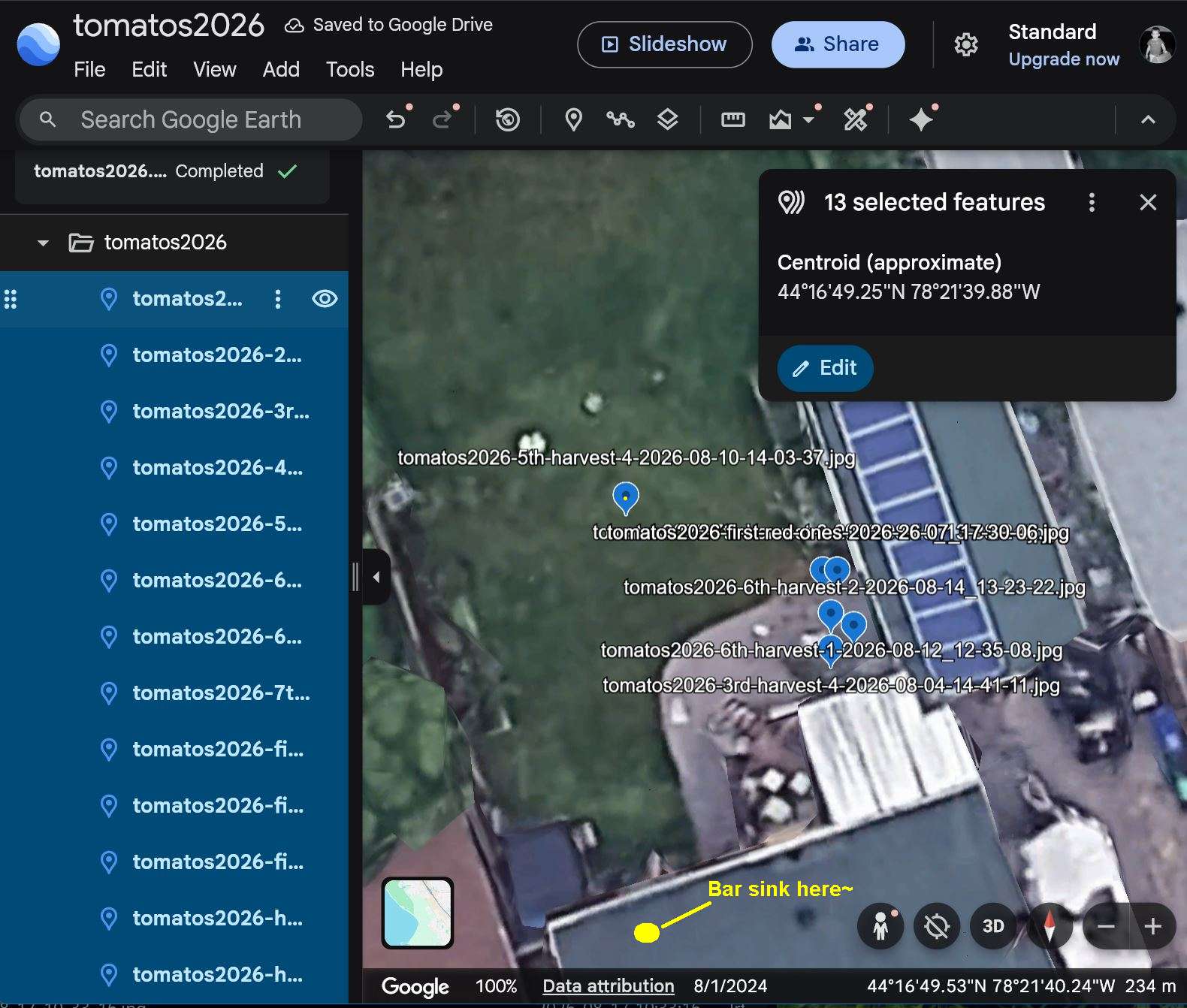
for funs, I wrote a script to extract the gps coords from all these tomatoes2026 pics and make a .kml file for import into gearth?
here’s the tomatos2026.kml:
and here’s what it looks like in gearth.web. can’t seem to get rid of the labels (ex. one object at a time.. should have a “show labels” in the main interace, and should all multi-select (it does) but edit multi-selected as well.)
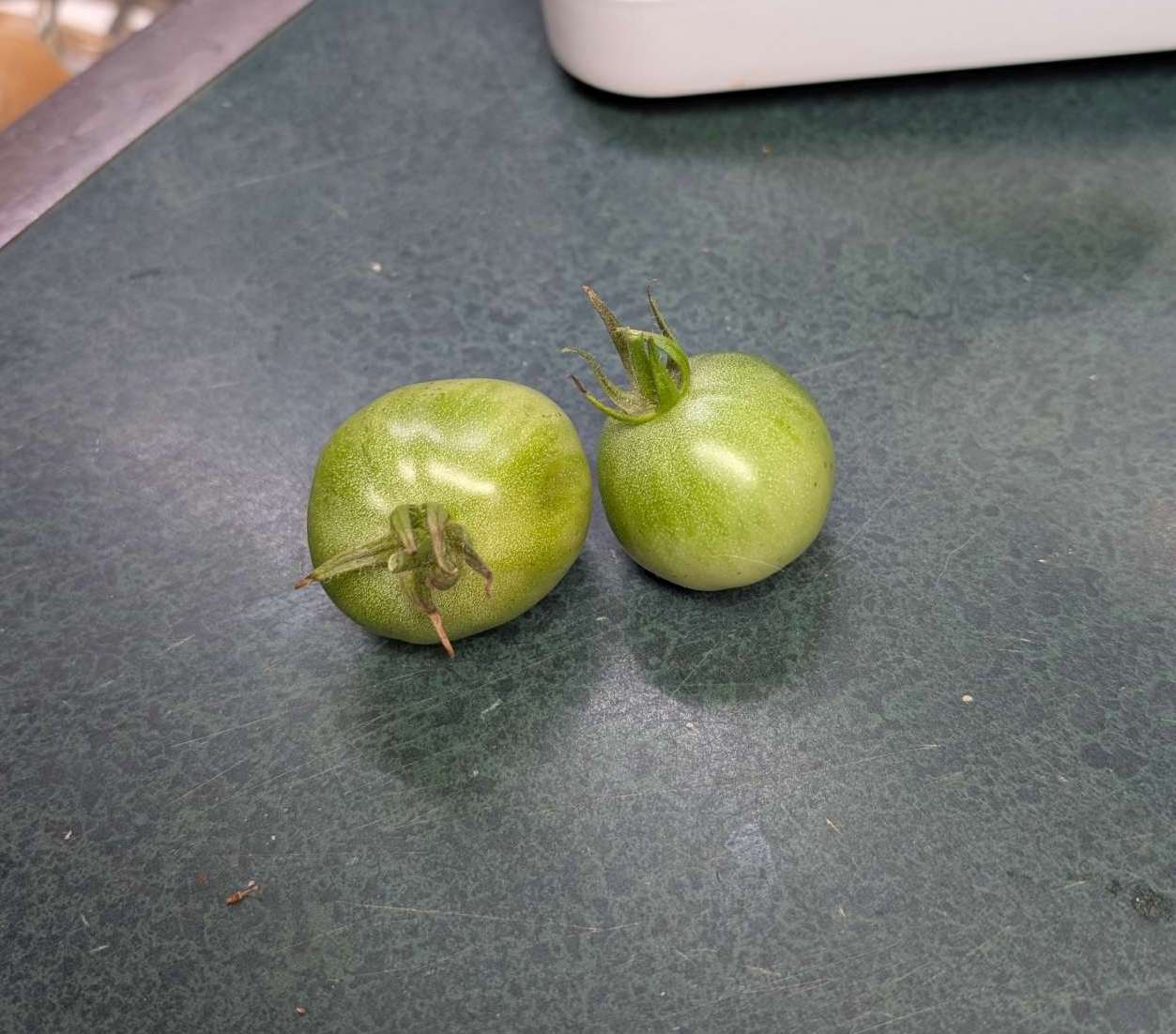
— 2026-08-17 – Monday – these 2 greens ones were on the ground; seem OK?
- 1(allegedly)



